The NWS dispatches survey teams to assess potential tornado damage in northern Maine after severe thunderstorms. Meanwhile, Hurricane Beryl poses a threat to the Caribbean with catastrophic winds and storm surge expected.
NWS Investigates Potential Tornadoes in Northern Maine
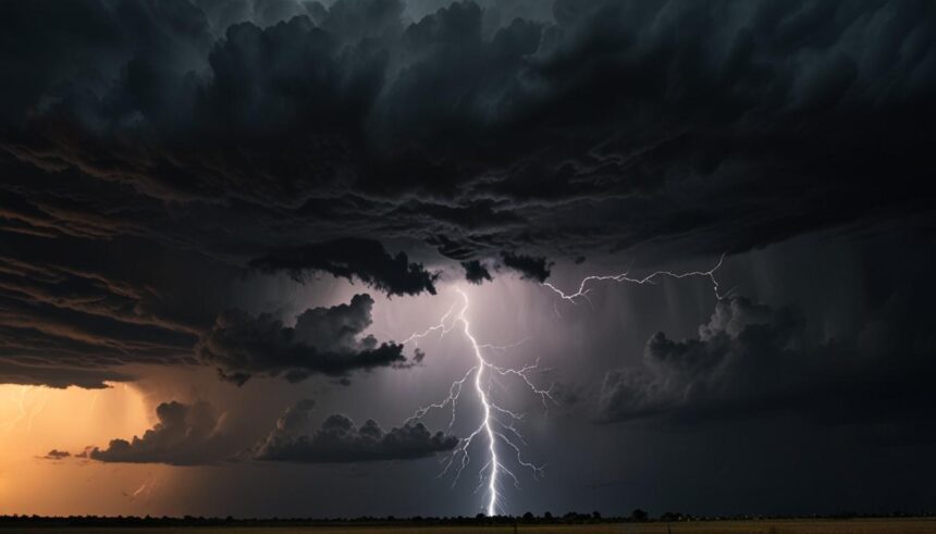
The National Weather Service (NWS) has dispatched survey teams to three areas in northern Maine to assess whether tornadoes touched down during severe thunderstorms on Sunday afternoon. Funnel clouds were reported between 2 p.m. and 2:30 p.m. as storms moved through the region, causing tree and power line damage.
Affected Areas:
– Sherman in southeast Penobscot County
– Haynesville in Aroostook County
– Along Route 11 to Brownville in Piscataquis County
Meteorologist Anne Strauser from the NWS Caribou station noted that the atmospheric conditions were conducive to severe weather, including potential tornadoes. A tornado warning was issued for parts of Maine during the storms. The NWS aims to confirm any tornado activity by Tuesday.
Additionally, widespread thunderstorm activity was reported across New England, with Maine enduring significant storm impacts. Southern New England experienced severe thunderstorms with gusty winds, heavy rain, and instances of golf-ball-size hail resulting in property damage and a few fires.
Hurricane Beryl Threatens the Caribbean
Hurricane Beryl, observed from space, is anticipated to impact the Caribbean as a Category 3 storm. The National Hurricane Center in Miami has warned of potentially catastrophic winds, a life-threatening storm surge, and damaging waves. The highest risk areas include St Vincent and the Grenadines and Grenada, with significant impacts expected later on Monday.
Footage from the Cooperative Institute for Research in the Atmosphere at Colorado State University captured lightning within Beryl’s eye wall, highlighting the storm’s intensity.


